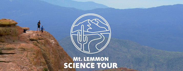

With support from Tucson Electric Power, the University of Arizona’s College of Science is moving forward with its latest Geotourism Initiative outreach effort: a unique mobile app that gives a scientific tour of Mt. Lemmon.
The Mt. Lemmon Science Tour App functions as a free audio tour that spans the hour-long drive from the base of the mountain to the pine forests at the top. The app also includes graphics, video and maps to explain the science, all designed to educate users about the tremendous biodiversity in the “Sky Islands” region of Southern Arizona.
The app is part of the Geotourism Initiative launched by the UA College of Science in 2011 to highlight the region’s scientific and natural wonders.
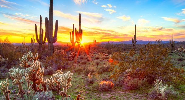
“The idea behind the Geotourism Initiative is that we have one of the most extraordinary areas in the world regarding biodiversity,” said Joaquin Ruiz, Dean of the College of Science. “It’s a special place, and the Catalina Mountains are a perfect representation of the biodiversity that we have, in geology as well as geography and ecology.”
TEP is among the main sponsors of the Geotourism Initiative and the SeeTucson.org website. Others include the Arizona-Sonora Desert Museum, Biosphere 2, Mt. Lemmon Sky Center, Pima County, UA College of Science, Ventana Medical Systems and Visit Tucson.
“TEP was an early supporter of the Geotourism Initiative,” Ruiz said. “What makes me so proud of our electric utility is it’s broadly interested in the well-being of our community, beyond simply delivering electricity. There are many examples of TEP making our community a better place, from the support for the College of Science to funding the Children’s Museum to its initiatives in solar energy.”
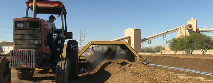
The college already offers a “sense of place” trip driving up Mt. Lemmon. Participants can learn about the history of the Tucson basin and the mountain range, including the geology and the life zones, as they travel from the desert at the base of the mountain to the conifer forest at the nearly 10,000-foot peak.
“The idea was to create an app so everyone could go up and see what we’re talking about without having to make it an official trip,” Ruiz said.
Available as a free download, the app is designed to parallel a drive up the mountain, starting at a designated point on the Catalina Highway. The tour unfolds in six sections: Sky Islands, Rocks, Life Zones, Water, Forest and Fire, with extra supplementary materials such as charts, maps and video in each section.
Shipherd Reed of the UA’s Flandrau Science Center wrote and produced the app, which was programmed by Madden Media and features music from Tucson’s Calexico, with narration by Calexico’s Joey Burns.
“We’re really going for a broad family audience,” Reed said. “There are a lot of great science stories, and research done in the Catalina Mountains started new fields of science and transformed existing fields of science.”
Dendrochronology, the study of tree rings, and ecology, the study of the interaction between organisms and their environment, both owe much of their development to UA scientists working in the Catalina Mountains, Ruiz said.
“The science of this region is so unique that it gives a new window into Earth science in general,” Reed said. “That’s one of the things that comes through strongest when you take the app tour.”
The app is available for smart phones and tablets, on both the Android and Apple platforms.
Find out more about the College of Science Geotourism Initiative here a>.